Upper Fort Bellary
About
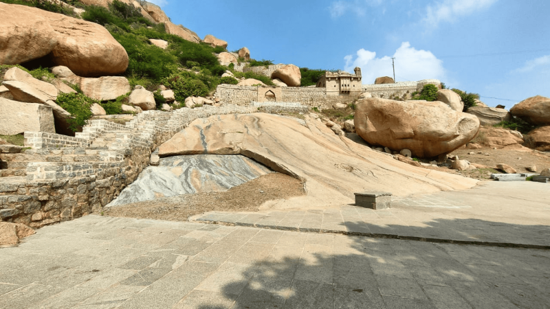
The fort overlooking Bellary stands on a hill rising 602.4 meters above mean sea level. Its prominence is enhanced by its roughly triangular layout, extensive defensive works, and long record of occupation. The site preserves evidence of sustained human activity, including structures, water sources and surviving architectural remains.
Historical Background
Archaeological discoveries reveal that the hill was inhabited in prehistoric times, as indicated by Neolithic celts, axes, chisels and varied pottery. After the decline of the Vijayanagara Empire following the Rakkashatangadi war of 1565 C.E., regional chiefs rose in influence. Among them was Hanumappa Nayaka, who strengthened the fort. Control subsequently shifted among the Marathas, Haider Ali in 1775 C.E., and Tippu Sultan from 1784 to 1792 C.E. The Nizams briefly held it before the English secured it in 1800 C.E.
Location and Significance
Situated northeast of Bellary in Karnataka, the fort occupies a strategic height and commands the surrounding plain. Its position supported successive regimes seeking military advantage in the region.
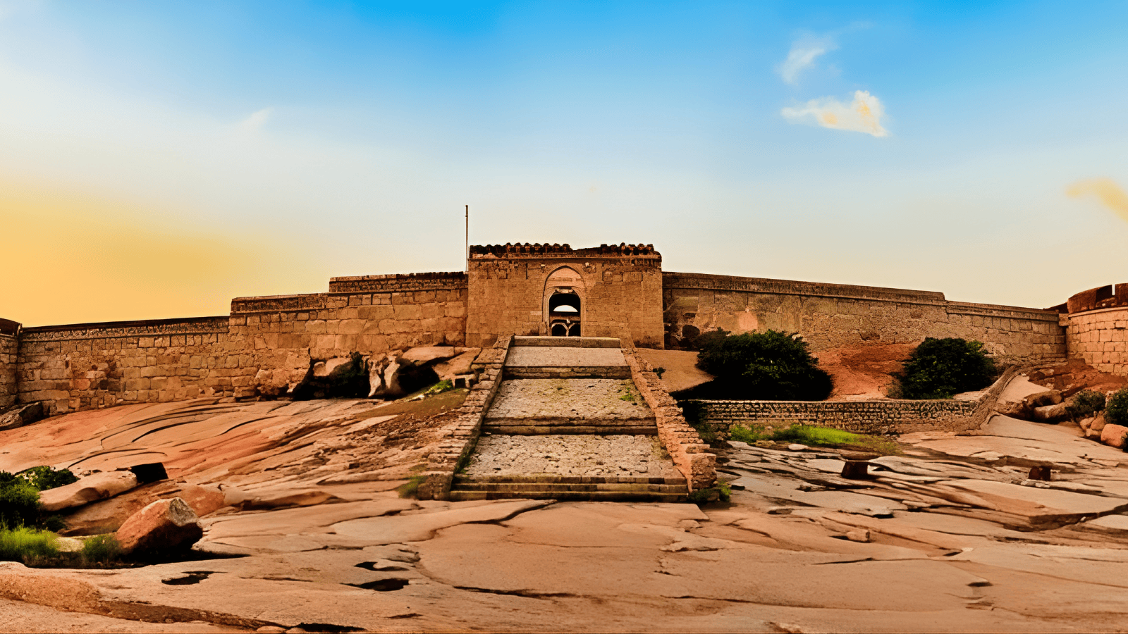
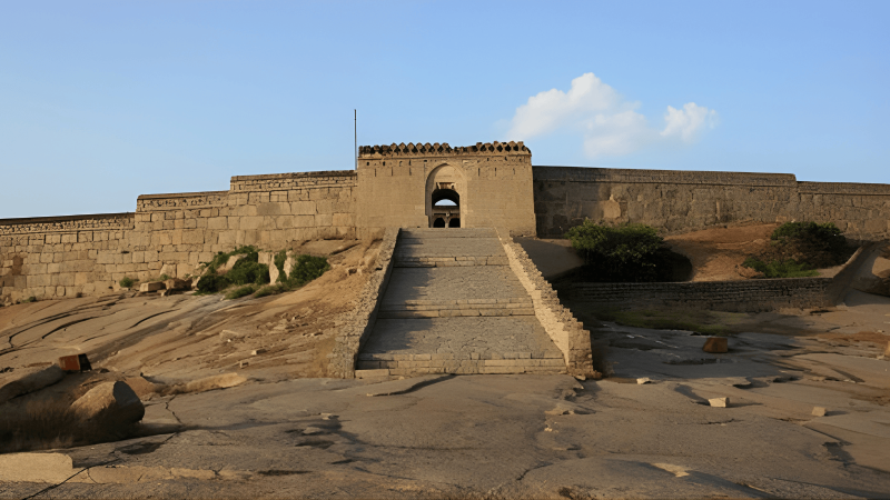
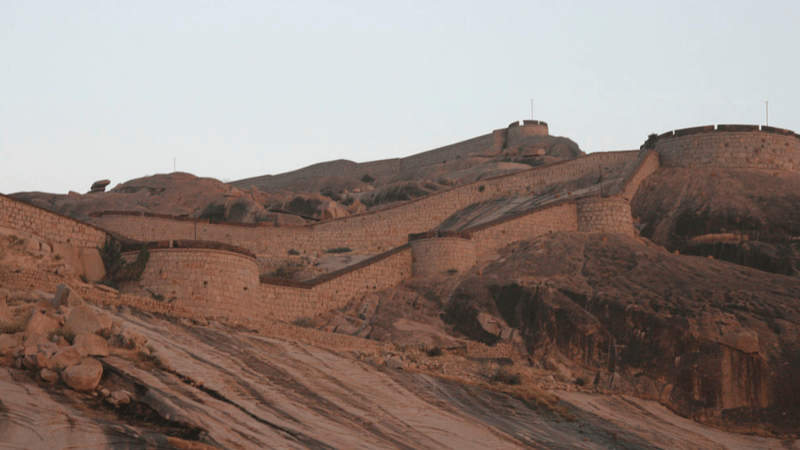
Architectural Materials and Design
Constructed of cyclopean granite masonry set in lime mortar, the fort features brick and lime coping and musket holes. Semi-circular and circular bastions occur at intervals. An arched gateway leads to an inner court containing secular rubble structures, temple remains on the summit and perennial ponds.

What you’ll experience
Climb the rugged rock fort for sweeping city views and layered history.Special attractions
The massive rock bastions, ancient hilltop temples, and deep pools.Perfect for
History buffs and trekkers looking for a challenging rocky climb.Gallery